Topo: No topo :(
Elevation: 100m
Parking: 46.4016°, 13.5135°
Ferrata: 46.4255°, 13.5118°


Characteristics
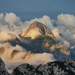
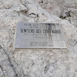
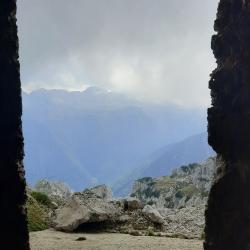
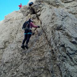
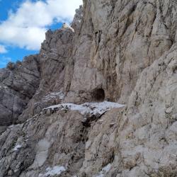
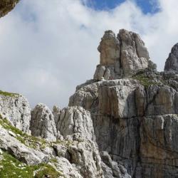
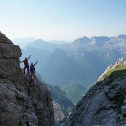
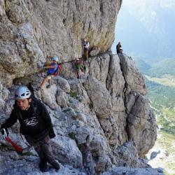
Picturesque, not too demanding via ferrata was opened at 100th anniversary of Gorizia branch of Club Alpino Italiano (CAI) in 1983. It goes through many fortresses of the first World war and has many beautiful views on he nearby mountains. Via ferrata is short, but the whole tour near the peak Cima Alta di Riobianco (2257 m) is long and strenuous.
Arrival
Through Cave del Predil, passing Rio Lago and park at around 1000m, where the path towards Rifugio Brunner begins.
Approach
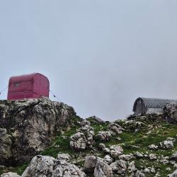
From the parking it takes about 2 hours to get past Rifugio Brunner to Bivacco Gorizia (1950m) and another 45 minutes to saddle Forca del Vallone (2180m), where via ferrata begins.
Exit
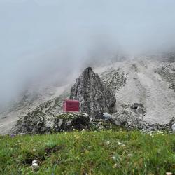
We can get back to Bivacco Gorizia in only 20 minutes through scrambled gutter. From there we descend on the same way as we ascended.
Interesting facts
It is possible to ascend Cima Alta di Riobianco (2257 m), but only with some alpinistic experience. Rifugio Brunner is unattended.
(Multiple authors)


 © 2026 Ferrata Guide