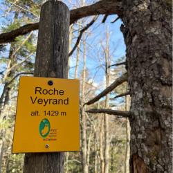
Topo: Roche Veyrand (Topo)
Elevation: 335m
Parking: 45.418°, 5.8555°
Ferrata: 45.4244°, 5.8487°


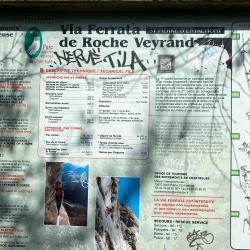


Characteristics
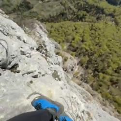
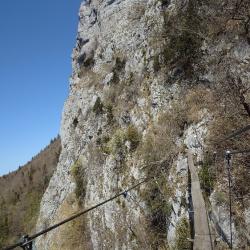
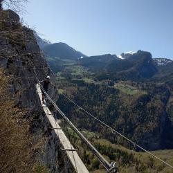
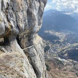
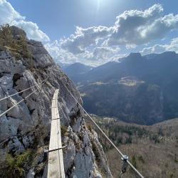
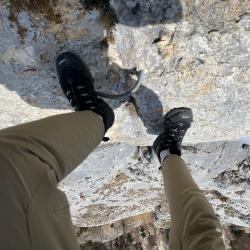
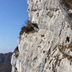
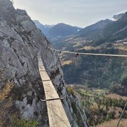
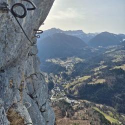
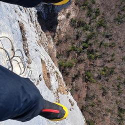
The via-ferrata is made up of 2 sections that can be done separately, the first AD, the second TD. The whole is very well equipped and many natural holds can be used. Beware, some sections may be slippery the day after it rains!
Arrival
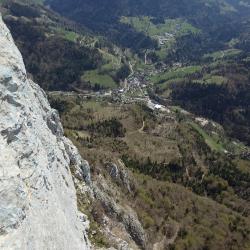
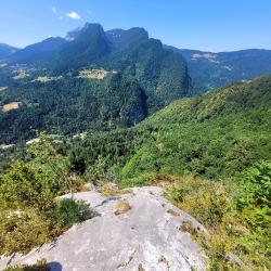
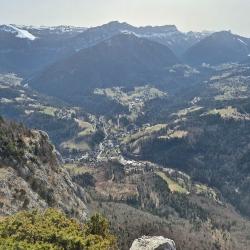
Approach
The access trail starts from the parking lot (cross the river "Le Cozon" by the bridge and turn left, then immediately take the small path that climbs to the right) and continues mainly through the forest, well marked and signposted. The slope is steep from start to finish (over 300m ascent), but don't be discouraged - the Via Ferrata that follows is well worth the effort. Shortly after reaching the bottom of a cliff, don't miss the path (signposted at the junction) which descends a few metres to the left to reach the start of the first section.
Descent
2 possibilities:
- a direct (and sporty) path, the sentier des Clapiers (1h30), along the ridge, takes you to the start of the via ferrata (and then to the ascent path), but it's very steep and very hard on the knees. Some steep passages are secured by cables, which you should not hesitate to use.
- another path (start by going up a little in the direction of Roche Veyrand) allows you to descend more gently (a little over 2 hours) through the forest, passing through the hamlet of "La Tournette" and the village of "La Fracette" before arriving at "La Fracette".
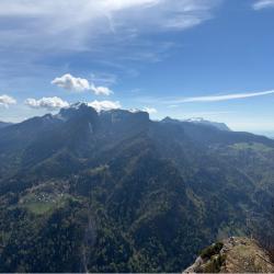
Points of interest
(Multiple authors)


 © 2026 Ferrata Guide