Perfect condition
Topo: No topo :(
Elevation: 280m
Parking: 46.6202°, 12.7163°
Ferrata: 46.6205°, 12.7247°


Characteristics
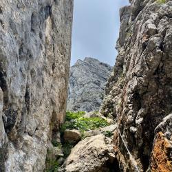
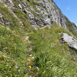
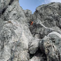
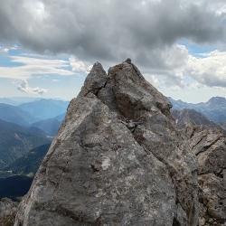
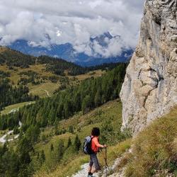
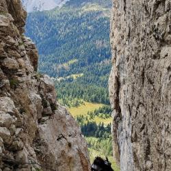
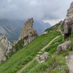
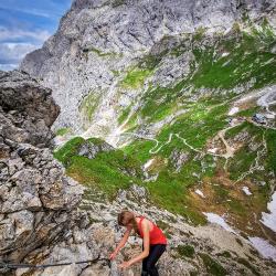
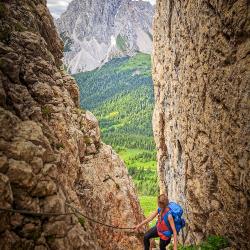
An easy panoramic via ferrata with beautiful views that ends at the top of a hill above the fortress, where there are many shafts. Once you reach the old fortress, turn left where the via ferrata leads up to a small peak and ends in the highest shaft cave. Caution: The path may also lead over grassy terrain and can be slippery when wet.
Arrival
Go to the town of Cima Sappada and from there take the high mountain road Strada provinciale 22. Take this road to an altitude of 1800 meters above sea level to the parking lot. Attention: Motorhomes, cars over 3.5 tons and trailers are not allowed to enter.
Boarding
From the parking lot in the direction of the hut, but already in the first bend on the right under the vertical wall. Go around it and turn right to get to the first rope.
Exit
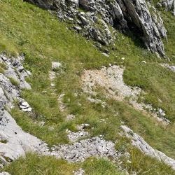
From the fortress we descend below the hut and then follow the gravel path back to the parking lot.
Interesting facts
The via ferrata ends on the hill where there are many shafts.
Beautiful views
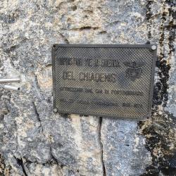
From the fortress you can continue on the CAI Portogruaro via ferrata (C) to the top of Monte Chadenis.
(Multiple authors)


 © 2026 Ferrata Guide