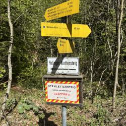
Good condition
Elevation: 750m
Parking: 47.7694°, 12.8834°
Ferrata: 47.7601°, 12.8534°


Characteristics
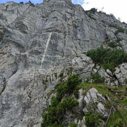
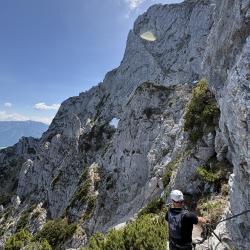
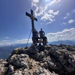
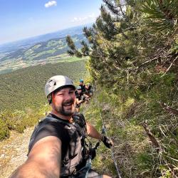
Beautiful and long ferrata near Salzburg (built in 2003) leading to the top of the Hochstaufen mountain (1771m). Ferrata is relatively difficult due to its length and difficulty.
Arrival
Salzburg - exit Bad Reichenhall - Continue in the direction of Piding / Bad Reichenhall - Urwies and then straight and left by forest path to the parking lot.
Approach
From the car park through the forest path to Steiner Alm. Between Maier Alm and Steiner Alm, turn left (Klettersteig sign). Then again to the left, first by the forest road, then by the ropes to get on. The path is well marked.
Exit
The normal way down Pidinger / Urwies. Get back to the parking lot.
Interesting facts
Whole-day ferrata
(Multiple authors)


 © 2026 Ferrata Guide