
Predicting whether..
Elevation: 1200m
Parking: 46.5093°, 11.7577°
Ferrata: 46.513°, 11.7207°


Characteristics
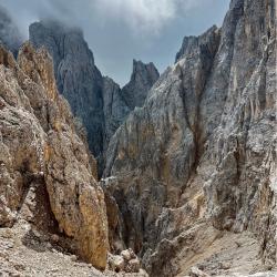
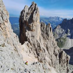
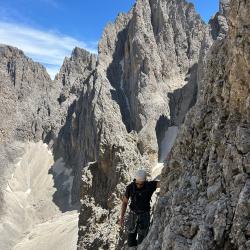
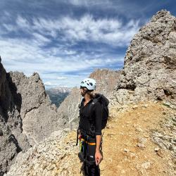
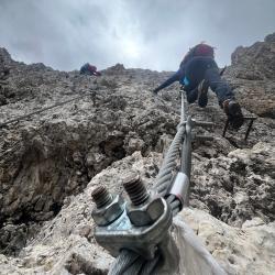
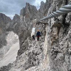
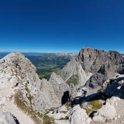
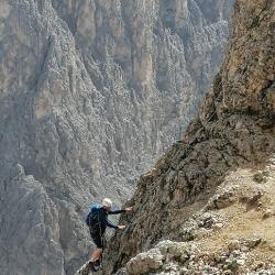
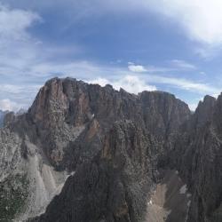
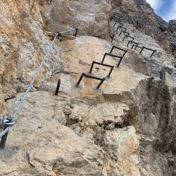
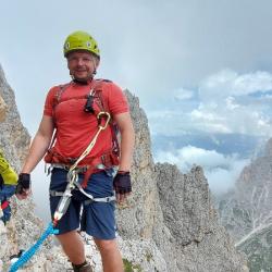
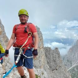
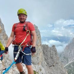
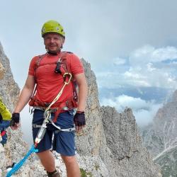
A nice mountain via ferrata, which is not technically difficult, but because of its exposure and height is quite challenging. Some sections are not secured by rope (climbing I-II).
Arrival
Munich - Innsbruck - Brenner - continue south and drive down to Clausen. From there you continue on Sellajoch where you can park in the saddle.
Approach
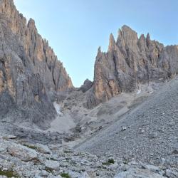
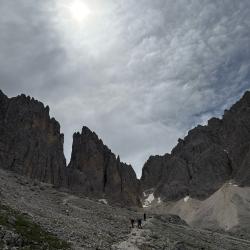
By cable car to Langkofelscharte (or walk by road 512 - 90minutes). From the saddle you descend to the road 525 and steeply (about 350m) to the Langkofel Hutte. From there go left on the red marked trail to Platkofelkar. The start is on the right side of the snow field.
Exit
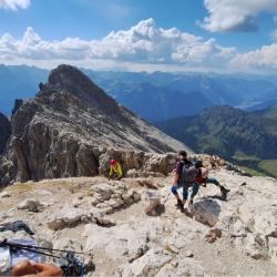
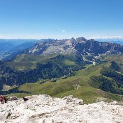
You will descend southwest through the small rocky thresholds on Route 527 to Plattkofelhutte and from there via Rif. Sandro Pertini and Rif. Friedrich Agust back to Passo Sella.
(Multiple authors)

 © 2026 Ferrata Guide


