
Predicting whether..
Topo: Oberlandsteig (Topo)
Elevation: 80m
Parking: 48.8286°, 11.0839°
Ferrata: 48.8303°, 11.0842°




Characteristics
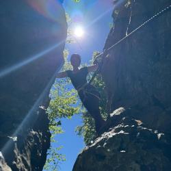
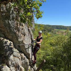
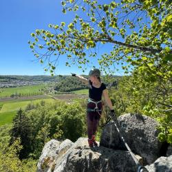
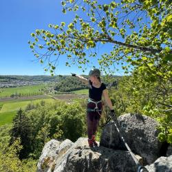
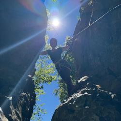
The area around Konstein is known for impressive climbing rocks. Sports via ferratas were created on the steep southern slopes of the Dohlenfelsen. The Oberlandsteig leads from one rock face to the other above the striking rock formation. There are two routes on the via ferrata: a more demanding blue one and a very easy red one.
Arrival
Park in the parking lot below the via ferrata.
Boarding
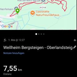
From the parking lot, walk towards town. At the first intersection turn left, but shortly afterwards turn right, following the signs for the blue/red path. On the way uphill after a short climb (difficulty level 1-) you reach the Dohlenfelsen. Behind it there is a junction to the blue path to the left (the marker is on a tree), the red path continues straight ahead.
Exit
When connecting to the red variant, you either return over the
Oberlandsteig Red
(two short via ferratas A/B) or descend and follow one of the hiking trails back to Dohlenfelsen.
Interesting facts
Difficult sections at the beginning of the blue route can be avoided. Climbing on the via ferrata is not recommended when it is wet. The paths are well marked (blue or red). You can extend the climbing by continuing east to the climbing crags above Aicha and then descending across the fields back to the crag.
(Multiple authors)

 © 2026 Ferrata Guide


