Guter Zustand
Höhenunterschied: 150m
Parken: 47.8729°, 13.8152°
Klettersteig: 47.873°, 13.8326°


Beschreibung
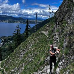
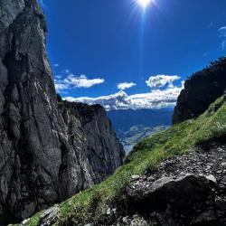
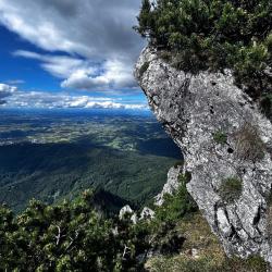
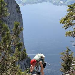
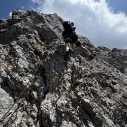
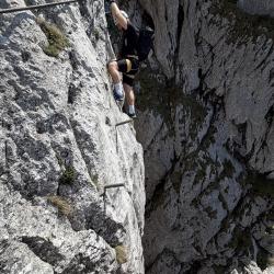
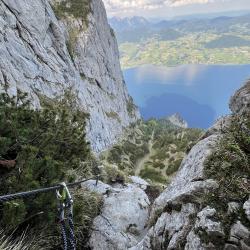
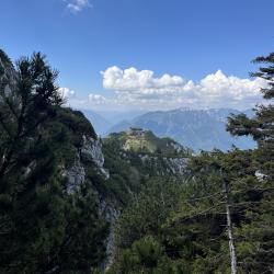
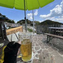
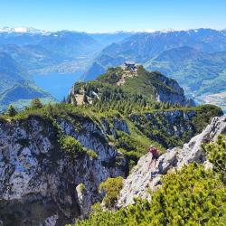
Sehr schöner und bekannter Klettersteig! Der Weg führt durch die Berge über Gmunden und endet bei der Gmundner Hütte, wo Sie sich bei einem kühlen Getränk stärken können. Aufgrund der Länge des Klettersteigs ist eine gute Kondition erforderlich.
Der Hans Hernler Steig ist ganz in der Nähe. Oben ist er mit dem Traunsee-Klettersteig verbunden.
Anfahrt
Gmunden (B145) – durch das Zentrum Richtung Osten. Am Ende der Strecke gibt es einen Parkplatz und Zugang zum See mit Strand.
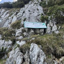
Zustieg
Vom Parkplatz ca. 700m zurück nach Gmunden und auf der Straße 416 zur Gmundner Hütte. Gehen Sie unterwegs etwa 1,5 km, dann sehen Sie die Abzweigung zum Traunsee-Klettersteig. Der Start ist hinter der Hütte.
Abstieg
Der Abstieg ist beim Hans Hernlersteig oder Naturfreundesteig
Wissenwertes
- Parallel mit dem Hans Hernler Klettersteig
(Mehrere Autoren)


 © 2026 Ferrata Guide