Durchschnittlicher Zustand
Topo: Lužická spojka (Topo)
Höhenunterschied: 80m
Parken: 50.6173°, 14.0513°
Klettersteig: 50.6202°, 14.0546°


Beschreibung
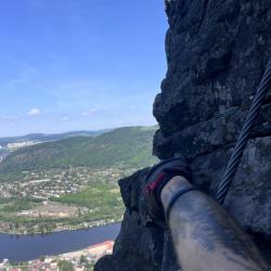
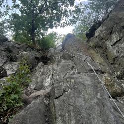
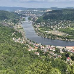
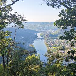
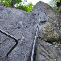
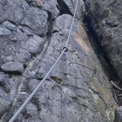
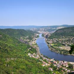
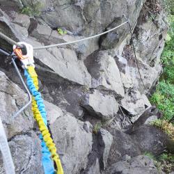
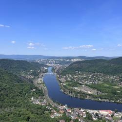
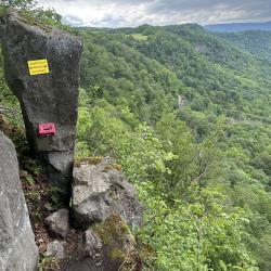
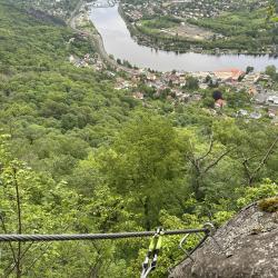
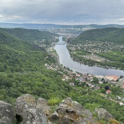
Der gesicherte Weg „Lužická spojka“ beginnt im Wald unter dem Felsen und führt bis zu seinem Gipfel, von wo aus man einen herrlichen Blick auf die Elbe hat. Dieser Klettersteig im Schwierigkeitsgrad C beginnt leicht und steigt dann steil die Wand hinauf.
Im Vergleich zu Poustevna (C) oder Kavárnička (B-D) ist die Lužická spojka (C) schwieriger.
Anfahrt
Am besten überqueren Sie Podlešín nach Alžbětina výhlídka und parken Ihr Auto auf der Straße am Wald.
Der zweite Parkplatz befindet sich am Ende des Klettersteigs
- N50°37.03118', E14°3.08805'
Zustieg
Sie können aus zwei Richtungen kommen, entweder von Stebno oder von Vaňova.
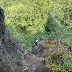
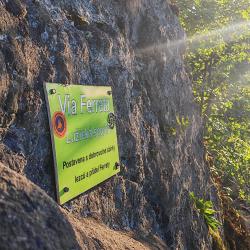
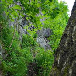
Vom Parkplatz aus gehen Sie rechts, dort gibt es einen Weg hinunter zum Wald, mit einem Hinweisschild „via ferrata“, der sich unter dem Felsen befindet, 10 Minuten zu Fuß. Die Straße ist steil und biegt nach links ab. Der Klettersteig führt direkt zum Parkplatz.
Abstieg
Wissenwertes
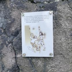
(Mehrere Autoren)


 © 2026 Ferrata Guide